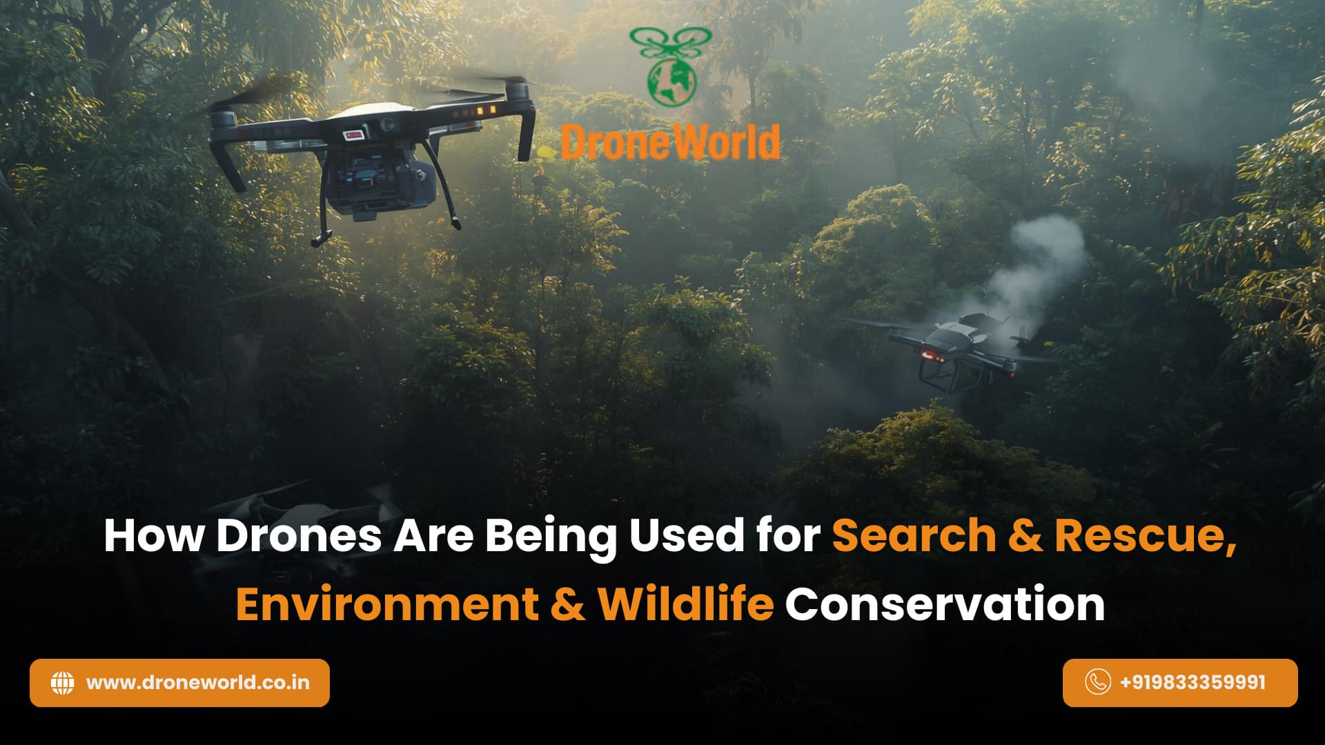
Over the past few years, drone technology has evolved from recreational flying to becoming one of the most impactful tools in emergency response, environmental monitoring, and wildlife conservation. Today, governments, defence forces, forest departments, NGOs, and disaster management authorities across India and the world are increasingly using drones to access areas that are dangerous, remote, or impossible to reach using traditional methods.
With expanding real-world applications and growing demand for skilled drone pilots, drones are transforming how we protect communities, save lives, and conserve nature.
Why Drone Technology Matters Today
When natural calamities strike such as floods, earthquakes, landslides, or forest fires every second counts. Traditional rescue operations often face delays due to blocked roads, high-risk zones, or lack of visibility. Drones offer:
- High-speed aerial coverage
- Cost-efficient monitoring
- Real-time decision-making
- Improved safety for rescue teams
These advantages make drones a critical asset in modern emergency response and conservation missions in India and globally.
- High-speed aerial coverage
How Drones Are Used in Search & Rescue Operations
Drones are revolutionizing search and rescue (SAR) missions by providing a fast, aerial view of affected areas. Authorities such as the National Disaster Response Force (NDRF), police departments, and fire brigades now use drones to:
- Locate missing individuals in forests, mountains, rivers, or urban disaster zones
- Map and assess damage after earthquakes, floods, or building collapses
- Detect heat signatures during night searches using thermal imaging drones
- Deliver essential supplies such as medical kits, food, radios, or life jackets
- Communicate with stranded survivors using speakers and message broadcasts
Using advanced features like GPS mapping, zoom lenses, and AI-powered detection, drones enable emergency teams to act faster and smarter.
Key Drone Technologies Supporting Rescue Missions
Search and rescue drones are equipped with specialized tools such as:
Feature
Purpose
Thermal Imaging Cameras
Detect body heat in low-visibility or night conditions
GPS + Real-Time Mapping
Track location accuracy and plan rescue paths
Long-Range Battery & Flight Time
Cover large distances without interruption
Payload Capacity
Deliver emergency supplies
Night Vision Sensors
Enable 24×7 emergency operations
These capabilities significantly reduce risk to human responders while maximizing operational efficiency.
Drones in Environmental Protection & Wildlife Conservation
Beyond emergency response, drones are playing a key role in protecting forests, oceans, and wildlife ecosystems. In India, organizations like the Forest Survey of India, WWF India, and state forest departments use drones to:
- Track endangered wildlife species such as tigers, elephants, rhinos, and snow leopards
- Monitor deforestation, illegal mining, and land encroachment
- Identify forest fire risks before flames spread
- Conduct anti-poaching surveillance in national parks and reserves
- Study coral reefs, wetlands, and biodiversity hotspots
With AI-based recognition systems, drones can automatically count animals, capture migration patterns, and record environmental changes without disturbing natural habitats.
- Track endangered wildlife species such as tigers, elephants, rhinos, and snow leopards
The Future of Drones: AI, 5G, and Swarm Intelligence
The next generation of drone technology will include:
- Autonomous AI rescue drones
- Drone fleets (Swarm Drones) communicating as a system
- 5G-enabled ultra-low latency live streaming
- Predictive analytics for faster decision-making
These advancements will enhance both search and rescue efficiency and environmental preservation efforts.
- Autonomous AI rescue drones
Conclusion
Drones are no longer just tools for aerial photography they are becoming life-saving instruments and powerful guardians of our natural world. From locating missing individuals to protecting endangered species and monitoring fragile ecosystems, UAVs are reshaping modern emergency response and conservation strategies.
As awareness and adoption grow across India and globally, there is also rising interest among students, professionals, and drone enthusiasts to explore career opportunities in this field. Staying informed and learning from trusted platforms can help you build skills and confidence in this emerging technology.
If you’re exploring drone-related education, research, or community learning, platforms like DroneWorld offer valuable insights, updates, and resources that help learners understand the latest trends and possibilities in the drone ecosystem helping you take your first step towards a future powered by innovation.
FAQ’s
Drones help rescue teams quickly scan disaster zones, locate missing people, and stream live visuals during emergencies.
Yes, drones support anti-poaching patrols, animal tracking, and forest monitoring across Indian reserves.
Yes, DGCA certification is required for commercial or official drone operations such as rescue or conservation work.
Drones with long battery life, GPS mapping, and thermal or night vision cameras work best across India’s diverse landscape.