Drone Mapping and Survey
Elevate Your Drone’s IQ – Master Photogrammetry, Remote Sensing, and 3D Mapping to Survey the Skies Like a Pro!
About the course
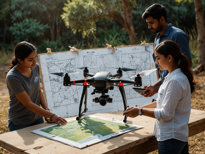
Drone Mapping and Survey at Drone World takes you on an immersive journey through the world of remote sensing and photogrammetry. The course begins with the fundamentals of remote sensing and the evolution of photogrammetry from single-image analysis to multi-image Structure from Motion (SfM) techniques showing how modern drones capture precise, high-resolution data.
Participants explore practical applications in surveying and GIS, understanding key deliverables, accuracy considerations, and project benefits. The program also provides hands-on guidance in creating 3D models using advanced software and explains how Lidar surveys compare to traditional photogrammetry methods.
By the end of the course, learners gain both the technical expertise and practical skills needed to transform their drones into powerful tools for mapping and surveying, ensuring efficient, accurate, and professional results in real-world projects.
Enroll in Drone World’s Drone Mapping and Survey course today!
Faq’s
Drone mapping works by flying drones equipped with cameras or sensors over a site to capture hundreds of overlapping images. These images are then stitched together with specialized software to create highly accurate 2D maps, 3D models, and elevation data.
Depending on your project, you can get orthomosaic maps, 3D terrain models, contour lines, point clouds, digital elevation/surface models (DEMs/DSMs), and even detailed 3D site reconstructions.
Yes, absolutely. With proper planning, RTK/PPK drones, and ground control points, drone mapping can achieve centimeter-level accuracy making it reliable for construction, land development, mining, and infrastructure projects.
Drone mapping is faster, more cost-effective, and much safer. It covers large or difficult-to-access areas quickly without heavy manpower. Plus, you get detailed visuals and data insights that traditional surveys may not provide.